Route Map(Valparai-Sholayar dam-Athirapally-Chalakudy)
Important: While choosing this road be ready with necessary tools for your vehicle as once we passed Malakkapara chek post you dont have any option till vazhachal ckeck post. Also beware of All kind of Animals including Cheetah. Better be with a group of people. Also make sure you opting a working day. Inside the jungle you find few people working at Peringalkuth KSEB office.
Sholayar Dam is situated 20 km from Valparai, a hill station in the Anaimalai Hills of the Coimbatore district, Tamil Nadu India. It is the second deepest dam in Asia. With its scenic surroundings, the dam is a busy tourist spot in the hidden forest area. A part of the hydroelectric project of Tamil Nadu, special permission is required to visit the dam. The Solaiyar dam is a vital reservoir under the Parambikulam Aliyar Project and has a water storage capacity of 160 ft. The reservoir's overflowing waters are let into the Parambikulam Reservoir, kerala through the saddle dam.

Calm Nature, Early morning ride is always special and awesome.

Streams, Valleys, tea plantation, Valparai is special always

Our destination: Chalakkudi via Sholyar forest

Still in TN state, long way to go but never boring.... How can it be ?....

VarattuParai, a small town on the way.....

Distance doesn't matter in hills

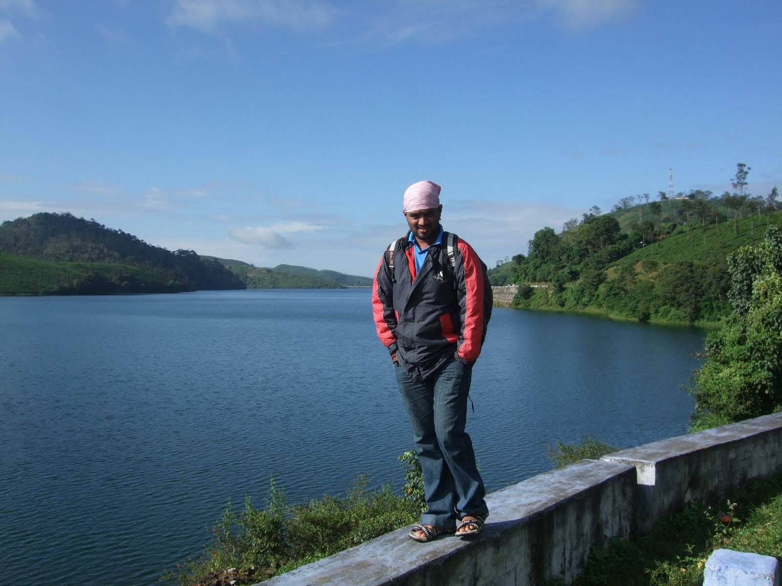
So I am at Upper Sholyar Reservoir very common in movies

My Digi Works

Myself posing @ Upper sholayar reservoir

Lovely trees all around, this is a sample one

Not much external disturbance, calm and quiet roads......

Sholyar Reservoir is so vast and the road almost going besides the reservoir.

This is Actual Sholyar reservoir,

How can I leave this place......

If possible I am ready to settle here...

Sholyar Town

Sholyar Dam, Second deepest in Asia...

Thats actually a big bridge, I have another snap from that point

On top of Sholyar Dam

This is what I told before regarding a small white bridge...

Down stream to Peringalkuthu reservoir from Sholayar Dam.

I cannot forget this place, I had around 6 Parippuvada and 4 tea from that tea shop Because my bike got puncture and I lost my 4 hours
.
Sholyar Reserve forest - Anamalai range

Too cold and wild beauty, for my luck no animals

Terribly wild

heavy rain

Long view of Peringalkuthu reservoir, Chalakuddy river in fact originating from this reservoir

Another view while coming down to Chalakkudi

Lion tailed monkey

Mist coming out from forest

Hammm nothing to say, have to experience the ride in rainy day

Penstock to Peringalkuthu KSEB Station

KSEB office, Pipes carrying water from peringalkuthu reservoir to huge turbines.
The Athirappilly and vazhachal Falls are situated on the Chalakudy river, which originates in the upper reaches of the Western Ghats. it is approximately 80 feet in height.

Chalakudi river

lower part of peringalkuthu reservoir

My self after a terror ride...

vazhachal Falls gonna start here

Vazhachal Falls

Vazhachal Falls

Charpa Falls

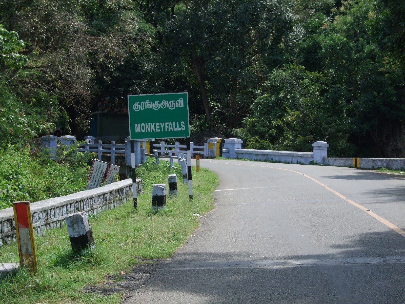
Sign board

Here comes the most famous Athirapally waterfalls entry gate

You can see lot of small shops

How calm the river now....

here too it seems so calm....

See now....

You can see this beauty in many Indian movies like Guru, Ravanan, Muthalvan etc etc

You cannot stand on those rocks for more time...

Calm Nature, Early morning ride is always special and awesome.

Streams, Valleys, tea plantation, Valparai is special always

Our destination: Chalakkudi via Sholyar forest

Still in TN state, long way to go but never boring.... How can it be ?....

VarattuParai, a small town on the way.....

Distance doesn't matter in hills

So I am at Upper Sholyar Reservoir very common in movies

My Digi Works

Myself posing @ Upper sholayar reservoir

Lovely trees all around, this is a sample one

Not much external disturbance, calm and quiet roads......

Sholyar Reservoir is so vast and the road almost going besides the reservoir.

This is Actual Sholyar reservoir,
How can I leave this place......

If possible I am ready to settle here...

Sholyar Town

Sholyar Dam, Second deepest in Asia...

Thats actually a big bridge, I have another snap from that point

On top of Sholyar Dam

This is what I told before regarding a small white bridge...

Down stream to Peringalkuthu reservoir from Sholayar Dam.

I cannot forget this place, I had around 6 Parippuvada and 4 tea from that tea shop Because my bike got puncture and I lost my 4 hours
.

Sholyar Reserve forest - Anamalai range

Too cold and wild beauty, for my luck no animals

Terribly wild

heavy rain

Long view of Peringalkuthu reservoir, Chalakuddy river in fact originating from this reservoir

Another view while coming down to Chalakkudi

Lion tailed monkey

Mist coming out from forest

Hammm nothing to say, have to experience the ride in rainy day

Penstock to Peringalkuthu KSEB Station

KSEB office, Pipes carrying water from peringalkuthu reservoir to huge turbines.
The Athirappilly and vazhachal Falls are situated on the Chalakudy river, which originates in the upper reaches of the Western Ghats. it is approximately 80 feet in height.

Chalakudi river

lower part of peringalkuthu reservoir

My self after a terror ride...

vazhachal Falls gonna start here

Vazhachal Falls

Vazhachal Falls

Charpa Falls

Sign board

Here comes the most famous Athirapally waterfalls entry gate

You can see lot of small shops

How calm the river now....

here too it seems so calm....

See now....

You can see this beauty in many Indian movies like Guru, Ravanan, Muthalvan etc etc

You cannot stand on those rocks for more time...